by Peter Furth | Mar 24, 2019 | LocalProject
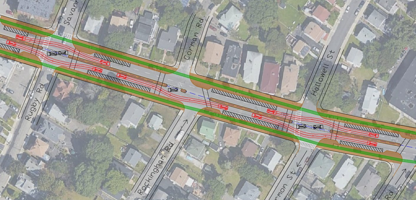
Click here for traffic simulation of the proposed layout Cummins Highway, between Mattapan Square and the cemeteries just west of Wood Ave. / Harvard St., is an auto-oriented, 4-lane divided road passing through the middle of Boston’s Mattapan neighborhood. In...
by Peter Furth | Nov 6, 2018 | LocalProject
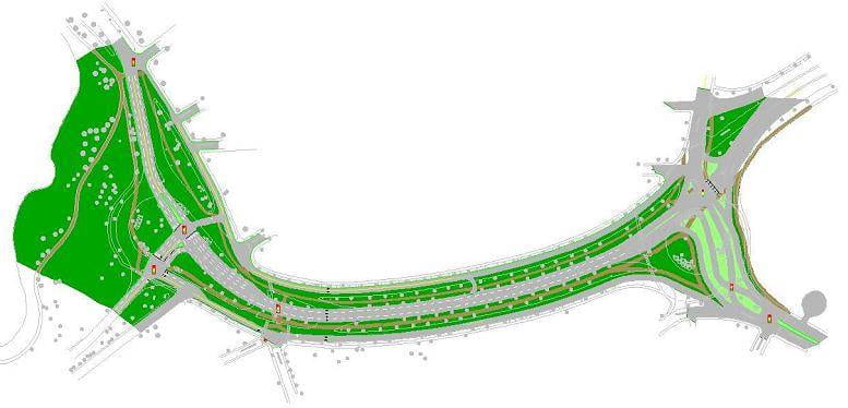
Redesign Project, 2008 Arborway, between Jamaica Pond and the Arboretum, has 8 lanes of through traffic. This student project, done in 2008, shows how the road’s footprint can be severely reduced, creating 4.5 net acres of accessible parkland and continuous...
by Peter Furth | Oct 17, 2018 | LocalProject
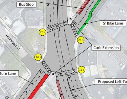
Egleston Square is a mess, and so it’s encouraging to see that the City has advanced two concepts for reimagining this intersection (follow this link to see those concepts). Concept 1 focuses on reducing pedestrian crossing distances and waiting times, while Concept 2...
by Peter Furth | Jul 26, 2018 | LocalProject
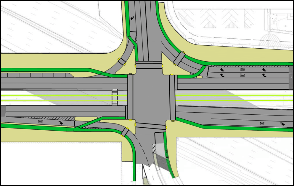
Graduate student Jeff Bachiochi designed a compact intersection based on a Copenhagen design that allows bikes and pedestrians to cross concurrently, yet protected from high right-turn volumes – an efficient design that results in a short cycle and short delays...
by Peter Furth | Apr 8, 2018 | LocalProject
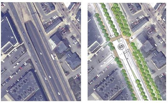
Since 2008, the City of Boston has been planning a project to convert Rutherford Avenue in Charlestown from a wide highway into a boulevard with a linear park, and to convert the oversized rotary and vehicle-oriented streets in Sullivan Square into a walkable urban...
by Peter Furth | Jan 19, 2018 | LocalProject
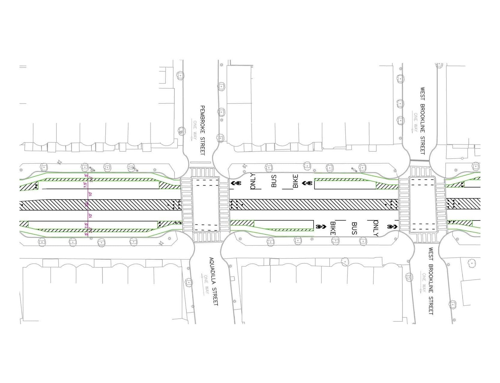
Two pedestrians have recently been killed crossing Tremont Street in Boston’ South End. The current layout – 4 lanes, undivided – leads to reckless speeding and makes it difficult to cross the street. Rampant double parking offers evidence that four...


