Bus-Friendly Traffic Signals Can Reduce Bus Delay By 90% on South Huntington Avenue
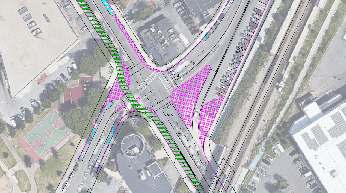
Introduction At two intersections on Boston’s South Huntington Avenue – intersections with Perkins St. and Bynner St. (Figure 1) – buses on Route 39, the MBTA’s fourth-busiest bus route, experience an average combined delay of 43 s. This post will explain how, with...Will Protected Bike Lanes Fit on Blue Hill Ave?
It’s been decided: Blue Hill Ave will have center running bus lanes. Whether it will have protected bike lanes is yet to be determined, and it depends heavily on whether they can fit without sacrificing mature trees, parking lanes, or traffic capacity. This set...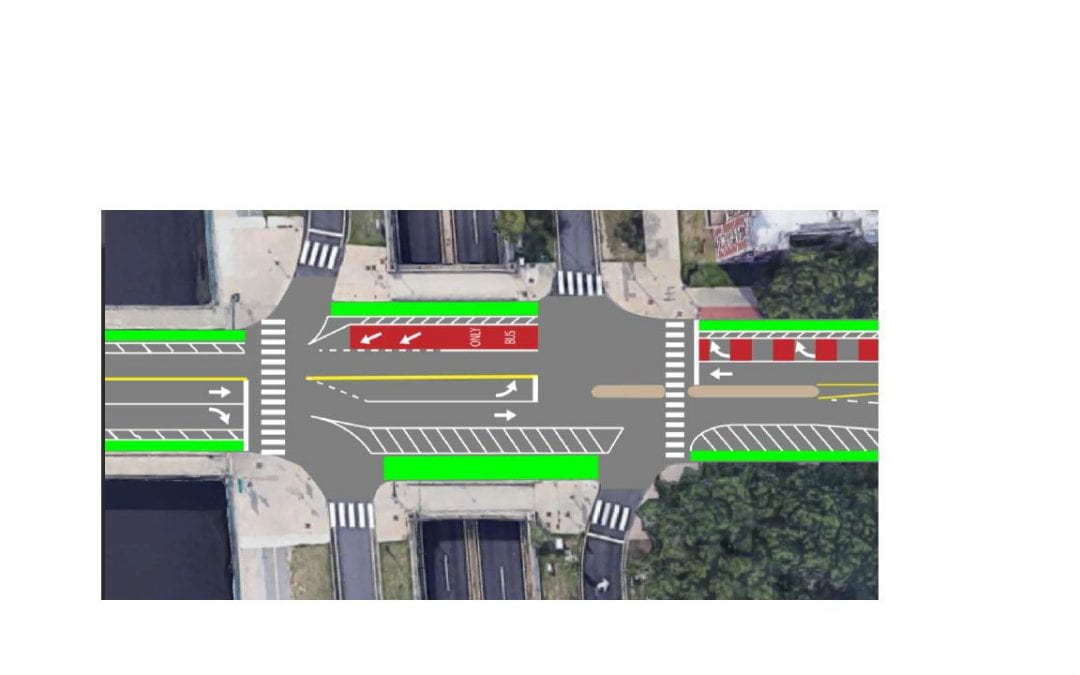
Improving the Mass Ave / Memorial Drive Intersection
With a new intersection layout and revised signal timing at Mass. Ave. and Memorial Drive, through traffic can be reduced to a single lane per direction, creating space for new bike lanes, a bus lane, and protecting bikes from a heavy right turn flow.

Poor Signal Phase Coordination Results in 4-Minute Pedestrian Delay at Forest Hills
Casey Arborway, at Forest Hills in Boston, is a newly constructed roadway with a lot of good features for bikes, transit, and pedestrians, such as cycle tracks, bike signals, relatively small footprint intersections (for the volume of traffic carried), and a left turn...