by Peter Furth | Oct 7, 2019 | Blog
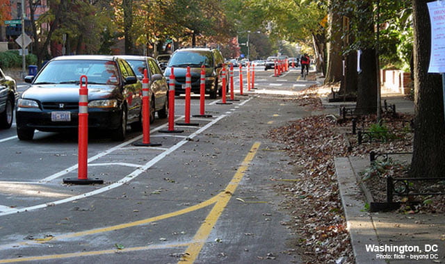
A recent IIHS study comparing protected bike lanes with other forms of bike infrastructure found an unexpected result: That 2-way, street-level protected bike lanes, also called cycle tracks, carried 11.4 times greater risk of injury than riding in the street on a...

by Peter Furth | Jul 14, 2019 | LocalProject
Providing a protected bike lane, or cycle track, along “Mass Ave South” — that is, Mass. Ave. from Melnea Cass Blvd to Columbia Rd (Edward Everett Square) is critical for Boston’s bike network. This creates a traffic engineering challenge...

by Peter Furth | Mar 24, 2019 | LocalProject
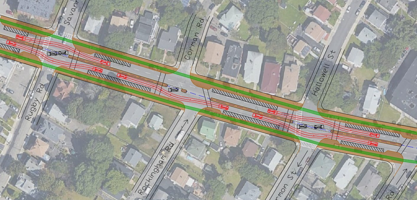
Click here for traffic simulation of the proposed layout Cummins Highway, between Mattapan Square and the cemeteries just west of Wood Ave. / Harvard St., is an auto-oriented, 4-lane divided road passing through the middle of Boston’s Mattapan neighborhood. In...

by Peter Furth | Nov 6, 2018 | LocalProject
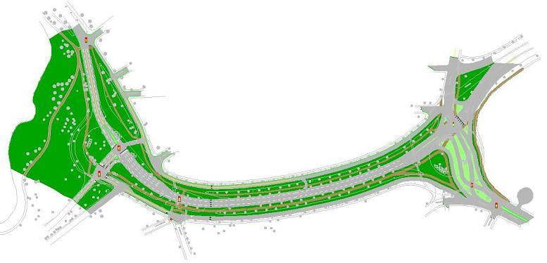
Redesign Project, 2008 Arborway, between Jamaica Pond and the Arboretum, has 8 lanes of through traffic. This student project, done in 2008, shows how the road’s footprint can be severely reduced, creating 4.5 net acres of accessible parkland and continuous...

by Peter Furth | Oct 17, 2018 | LocalProject
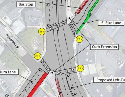
Egleston Square is a mess, and so it’s encouraging to see that the City has advanced two concepts for reimagining this intersection (follow this link to see those concepts). Concept 1 focuses on reducing pedestrian crossing distances and waiting times, while Concept 2...


