by Peter Furth | Dec 22, 2017 | LocalProject
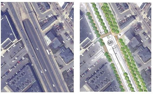
(Editor’s note, 4/8/2018: Since this report was first published in February, 2018, we are glad to report that the Boston Transportation Department has modified its design by adding the delta islands that are part of our proposal, so that its plan now includes...
by Peter Furth | Dec 22, 2017 | LocalProject
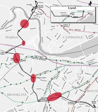
Chris Boll, a Master’s student in civil engineering, took inspiration from best practices in Brussels, Zurich, and Dublin to develop ways to protect Route 66 from traffic congestion at five “hot spots” that include Mission Hill, Coolidge Corner,...
by Peter Furth | Dec 21, 2017 | LocalProject
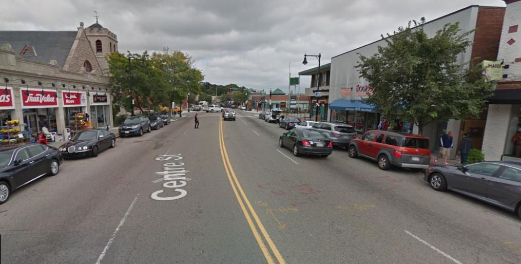
Centre St between Lagrange St and Esther Street (near Holy Name Circle) is West Roxbury’s main street, flanked by shops and businesses. It has 3 bus routes, a nearby commuter rail station, and several nearby schools that further contribute to pedestrian traffic....
by Peter Furth | Dec 20, 2017 | LocalProject
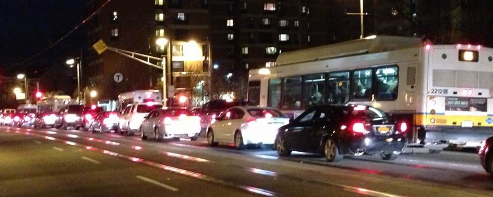
The Mission Hill stretch of Huntington Av, between Brigham Circle and South Huntington Ave., can be so congested that it’s quicker to walk than to ride the train or bus. While buses and Green Line trains represent only 3% of the traffic, they carry 70% of the...
by Peter Furth | Sep 22, 2016 | LocalProject
UPDATE, 2017: The new park entrance for ped/bike that we recommended is under construction! (Franklin Hill Ave. @ American Legion Hwy) The limited number of entrances and poor crossing provisions across the busy roads bordering Boston’s Franklin Park limit its...
by Peter Furth | Aug 25, 2016 | LocalProject
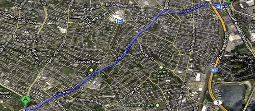
Columbia Road was originally envisioned as a link in Boston’s Emerald Necklace, a string of linear parks encircling Boston with paths for travel by foot, by carriage (later, car) and by horse (later, bicycle). It was to be a greenway link from Franklin Park to...


